Is that the longest post title ever or what!?! Haha. This secret water fall is secret for a reason...it is VERY well hidden. Since it is still fairly unknown, there is not a true trail leading to it, there is wild brush but little trash at the falls with random items along the way.
KNOW BEFORE YOU GO
- Adventure Pass required for parking.
- Vault toilets at lot, below at trail head and along the road before the lot. Bring your own TP.
- Weather and water levels vary. Wear layers.
- Your feet WILL get wet. Plan accordingly.
- Beware of POISON OAK exposure at final river crossing up to falls.
- Hike is about 8 + miles round trip.
- You will pass miners, their work area and camps.
- First half of trail follows Bridge to Nowhere trail--there will be small hills, bouldering and river crossings.


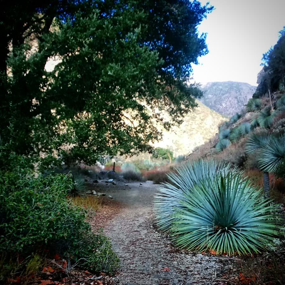
This account assumes you are at least somewhat familiar with the Bridge to Nowhere trail as you will be following it for the first half of this hike. The first marker to be aware of is entering Sheep Mountain. You will cross the wooden bridge and see the sign. Continue to follow the trail along the river. You will travel over rock face, use caution--always use caution. Then the trail will narrow and cross what looks like a former rock slide are with small gravel. You will come down a hill and cross over an open area with gravel, rocks and sharp, pointed yucca plants.

Eventually you will reach a point where you MUST cross the river, regardless if you are heading to the Bridge to Nowhere or not. Normally you would cross over to the *left* side of the river, then *back* across to the right, sort of like a U-turn to avoid a large rock face that enters the rivers edge. (it is on your right as you make this crossing)
In this case, STAY on the LEFT side of the river--do NOT cross back over here. Follow along up the river, from the left side. It will sort of feel like a trail because of flat ground with small rocks. You will stay on the left side most of the time while crossing back and forth.
 |
| First crossing back to the right side of the river. |
The first time you cross back to the right will be because the 'trail' dead ends into the river and you have no other option but to cross over. Trekking poles or a large stick may be good as you are crossing the river to help with stability. For the most part, we were able to keep our feet and shoes fairly dry with a few toe splashes, by rock hopping. If we had to step into the water, we looked for the most shallow spots, hopped quickly across and toughed it out.
When you have no idea where you are going, it can feel like forever, but don't worry, it will be quick and easy on the return. The next major marker to be aware of is a large ditch/rock quarry/active mining area on the LEFT side of the river.
 |
| Active mining area. Ditch/rock quarry |
We stayed along the left side but at this point, we crossed back over to give the miner his space. There were also tools on the right side but he was working on the left so we left him alone and gave a wide berth. You should see extremely large piles of big rocks. He is digging ditches and moving rocks, had a wheelbarrow, and other tools. He has been there probably a few years. Last summer (2017) when we passed, he had a ditch the size of a room and we passed by on the left. He has rearranged so many rocks and expanded his work area significantly since then, at the time of this writing.

Another marker that may be helpful is coming upon lime/light green colored rocks face. This is also located on the left side of the river. This will help break up the confusion and affirm you are on the right track and have NOT passed up the tributary yet. You will climb on this a little to continue traveling along the left side of the river. Eventually you will pass slightly red rock.
 The next significant marker is an abandoned camp or mining area on the right side of the river. You will need to cross over at this point to the right. This time had way more cast offs and materials than last summer (2017). There were clothes and shoes spread out all over and some still in bags. There were tarps but also signs of previous mining attempts, long, large tubes all along the right side of the river. The atmosphere may feel a little eery and you realize you are very alone on this road less traveled.
At this abandoned area you should see a very, unusable swing. It may have barbed wire wrapped around it--I do not recommend using it. Keep moving forward up river.
Some points along the left side will feel open, airy and the ground will be flat. At other points, you WILL be stomping through brush, tree branches, over rocks, fallen trees, avoiding getting stabbed by yucca plants--keep going. Maneuver however you need to continue moving up along the river. You can travel up the center of the river when it is shallow, if you like. Some areas are deeper and the water moves more rapidly with unstable river floor of rocks and small boulders.
 |
| Can't see in this pic but that is where the water flows down/over from and into the San Gabriel River. |
When you finally reach the tributary streaming into the river, you will probably be on the right side of the river OR in the river itself. Its a tricky spot and can easily be missed. Right where the stream is flowing into the river is a bit of a deep and potentially unstable spot to step with rapid flowing water. We chose to cross a couple feet past it, where it was shallow and you could see the river bed. It is well hidden with brush and it makes you doubt it is anything more than a random trickle of water.
THIS IS IT! It's what you have been searching for. Yay. We entered on the right of the tributary. It is uphill (sort of) but not too hard. Use caution because now your shoes are wet and rocks will be slippery. It is over grown so also be aware of poison oak. I did not notice any poison oak on this trip but we were very aware of it last summer. Some boulders you need to climb up, will be waist high. There will also be inclines of gravel.
 |
| The falls begins to come into view. |
 |
| The pictures can not do it justice! Devil's Gulch Falls |
Enjoy a serene moment taking in the view. During the summer, we got in and stood under the falls. This time we did not get in at all and simply took selfies from the shore. Enjoy a quiet and serene lunch listening to the falls. It's breathtakingly beautiful.
Eventually you will head back down and out. Keep an eye to the left on your way down to catch sight of old ruins and the remains of a road or foundation {I don't know which}.
We traveled down the center of the river for awhile. We came upon a weekend gold miner and he advised us of a 'trail' along the 'right' side of the river, which is now on our left as we are travelling *down river*. We ended up staying on that side most of the way since we did not have to stay aware looking for the hidden tributary. We crossed back over at the point where we initially crossed and separated from the original BtN trail, to rejoin the trail.

These graffiti arrows are not noticeable when you descend this gravely part of the trail after sheep mountain. They work as good markers to be aware of to get back onto the trail, up above the river. When/if you come across these, they are on your left or right in front of you. The trail is just to the left of this picture and easy to miss. It heads back up above this rock face.

I hope you enjoyed this trail and find the secret falls. In case you are more of an auditory person...I also made a VIDEO! lol It is a scrappy video that I initially planned on using for my own personal notes. Please keep your expectations LOW. I made this on the fly. It may or may not be helpful but I hope it is.
Let me know if this helped and if you have any more questions, I'll try to answer them.
See you on the trails.